

Let’s be honest – using only your smartphone in the California wilderness is risky. It’s like trusting a TikTok influencer for financial advice. Both ways usually end with you lost and upset.
I learned this the hard way at 11,000 feet in the Sierra Nevada. My phone died, and I was left with nothing. But then, I found a $15 compass in my pack. It saved me from becoming a search-and-rescue statistic.
Your navigation system should be as safe as your investment portfolio. When technology fails – and it will – you don’t want to be in a survival documentary.
We’re talking about the holy trinity: timeless map and compass, your primary app (GAIA GPS is a great choice), and a backup. It’s like combining analog and digital with a safety net.
Offline maps are your digital breadcrumbs when cell service goes away. Even when your phone can’t call for help, its GPS works in the backcountry.
Offline Downloads and Battery Strategy
When your phone hits 10% battery in the backcountry, it’s like a horror movie jump scare. But, there’s no director to yell “cut” when you’re lost. Let’s focus on survival math, not panic.
Your smartphone turns into a lifeline in the wilderness. But GPS apps use battery like college freshmen at a frat party. Google Maps uses 10-15% per hour, while Maps.me uses only 8%.
Think your “fully charged” phone can last a 15-mile Sierra day hike? Think again. Most phones last 4-6 hours of continuous navigation, barely enough for ambitious hikes.
Offline maps are your digital safety net. But, storage is key. Downloading all California would use 2.5GB, like carrying an encyclopedia set. Maps.me’s California package is just 380MB, more like a pocket guide.
| Navigation App | Battery Drain/Hour | California Map Size | Best For |
|---|---|---|---|
| Google Maps | 10-15% | 2.5GB (full state) | Urban-adjacent hikes |
| Maps.me | 8% | 380MB (state only) | Extended backcountry |
| AllTrails | 12-18% | Varies by route | Pre-planned trails |
| Gaia GPS | 9-14% | 1.8GB (regional) | Technical navigation |
Power management is key to survival. A 10,000 mAh power bank is great for day hikes. For multi-day adventures, you need 20,000 mAh or more. Nobody wishes they had less battery life.
USB-C compatibility is smart, not just tech snobbery. Faster charging means less time waiting and more time exploring. Your battery percentage is more important than your Instagram likes when lost.
Pro tip: Use Airplane mode to save battery. Download your offline maps beforehand, then turn off connectivity. Your phone becomes a dedicated navigation device, not a power-hungry multitasker.
Remember: in the wilderness, your phone is not a toy. It’s your digital compass, emergency beacon, and sometimes your only link to civilization. Treat its power supply with respect.
Landmarking, bearings, and staying found
Our phones guide us to coffee shops with ease. But in the wilderness, we need more than just a signal bar. We need conscious orientation – to see our surroundings, not just a dot on a screen.
Landmarking turns random nature into a reliable guide. That granite formation is more than scenery; it’s your path. The unique redwood is your compass when tech fails.
- Identify persistent features – like rock formations, unique trees, or terrain that stays the same
- Create visual sequences – link landmarks together like visual markers
- Note seasonal changes – see how snow, leaves, or water sources change your view
Your map compass is more useful when used ahead of time. Regular bearings keep you oriented. It’s the difference between knowing you’re on track versus finding you’re lost.
The mindset of “staying found” versus “getting lost” is key. One keeps you confident and in control; the other leads to panic and bad choices. I’ve seen even skilled people make poor decisions when they feel lost.
My approach mixes old-school observation with modern tech: Use your phone’s GPS for waypoints, but your eyes and map compass for the journey. Tech shows where you are; skills show how you got there and where you’re going.
That big redwood doesn’t move. But your phone signal and battery will. Learning to navigate by permanent features means you’re never lost – just between known spots.
When Tech Fails: handrails, backstops, pacing, timing
Your phone dies. Your GPS glitches. Now you’re lost like it’s 1999, without Britney Spears. This is not a tech failure; it’s a chance to learn how to not get lost.
Handrails are like nature’s guardrails. They help you stay on course: rivers, ridges, power lines, and game trails. They’re like organic GPS breadcrumbs.
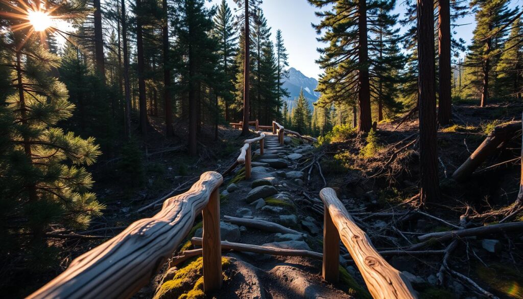
Backstops are your safety nets. They tell you when you’ve gone too far: highways, canyons. They’re like “you’ve arrived” signs, but with more fear.
Pacing and timing are key in wilderness navigation. Your walking speed changes with the terrain. It’s not fixed like a constant.
Here’s a pace calculator for different terrains:
- Coastal trails: 3 mph (watch for tide changes)
- High Sierra: 1.5 mph (altitude is a cruel mistress)
- Desert washes: 2 mph (heat makes everything slower)
- Redwood forests: 2.5 mph (too busy gazing upward)
Time yourself between known points. Count your steps. It’s not just navigation; it’s learning your movement patterns.
When do you use a PLB? When you’ve tried everything and it’s safer to stay put. It’s not failure; it’s a smart choice.
Technology fails, but rivers keep flowing, and ridges stay put. Your job is to read the landscape, long before satellites and long after our batteries die.
The wilderness doesn’t care about your tech. But it will respect your ability to adapt when technology fails you.
Communication Options: cell vs FRS/GMRS vs satellite messengers/PLBs
Wilderness communication is a harsh reality. Cell coverage maps are as reliable as a politician’s promises. They often fail when you need them most.
In California’s backcountry, cell service is like Bigfoot sightings. It seems real but disappears when you need it. You might get a bar on a ridge, but nothing in the canyon where you need help.
FRS/GMRS radios are like a middle school science project. They work well in Yosemite Valley but fail in real terrain. Their range is limited and unreliable.
These radios claim a 30-mile range, but that’s under perfect conditions. In reality, you’re lucky to get 2 miles in dense forest or over ridges.
Now, let’s look at satellite messengers and PLBs. This isn’t just comparing gear. It’s about saving your life.
Personal Locator Beacons (PLBs) are simple but effective. No monthly fees, just a one-time purchase and registration. They connect directly to search and rescue satellites. But they’re only for emergencies, not for casual messages.
Satellite messengers are more versatile. They have monthly fees, but they’re worth it. When you’re injured in a remote canyon, that $15 monthly fee seems reasonable.
Modern satellite messenger devices offer two-way messaging, weather forecasts, and social media sharing. They’re the best for backcountry communication because they work where it matters.
Choosing between PLBs and satellite messengers depends on your needs. PLBs for emergencies, satellite messengers for all-around communication.
I’ve used both, and here’s my honest opinion:
- Cell phones: Good for trailhead posts, useless in emergencies
- FRS/GMRS radios: Great for nearby communication
- PLBs: The ultimate emergency tool with no ongoing costs
- Satellite messengers: The best all-around solution worth the subscription fees
For wilderness safety, cell service is unreliable. A satellite messenger is essential insurance for venturing off the trail.
Crafting a Trip Plan & Check‑In Protocol
Most trip plans are vague and useless in emergencies. Your safety plan should be solid, not based on wishes.
Creating a good trip plan is a big responsibility. It’s about setting smart boundaries to keep you safe. It’s like preparing for a search before you might need one.
- Exact route with alternatives (because nature doesn’t care about your original itinerary)
- Timeline with buffer zones (arrival windows, not exact moments)
- Emergency contacts (who actually answers their phone?)
- Equipment list (so rescuers know what resources you have)
- Medical information (allergies, conditions, medications)
Check-in protocols often fail. They need to be frequent but not too much. Too little and they’re useless.
Set up different levels of check-ins. This includes “I’m fine,” delayed returns, and full alerts. It’s not about controlling you, but keeping you safe.
what3words is a game-changer. It’s not just tech; emergency services in California use it. It helps pinpoint your exact location with just three words.
Imagine telling rescuers you’re at ///treetop.vibes.hiking instead of “near the big oak tree past the stream.” The first gets you found, the second might lose you.
The beauty of what3words is its simplicity. No complex coordinates. Just three words that work offline and across languages.
California State Parks use what3words because it’s effective. It’s like giving a map with an “X” instead of GPS.
Use what3words in your trip plan. Mark important spots and share them with friends before you go.
Your safety plan should be easy to use when you need it. In emergencies, being prepared is key.
California Coverage Realities (Sierra, Big Sur, deserts, redwoods)
California’s landscapes are breathtaking, but they also play a cruel trick on your phone signal. The more stunning the view, the worse your connection gets. It’s like watching your bars disappear faster than a drink at a trendy bar.
The Sierra Nevada turns your phone into a useless paperweight. Signals get lost in the mountains’ granite and valleys. It’s like your phone’s signal is as elusive as a tech company’s ethics.
Big Sur’s beauty comes with a price: dead zones that rival black holes. The coastline is like a natural Faraday cage, blocking signals with its stunning views.
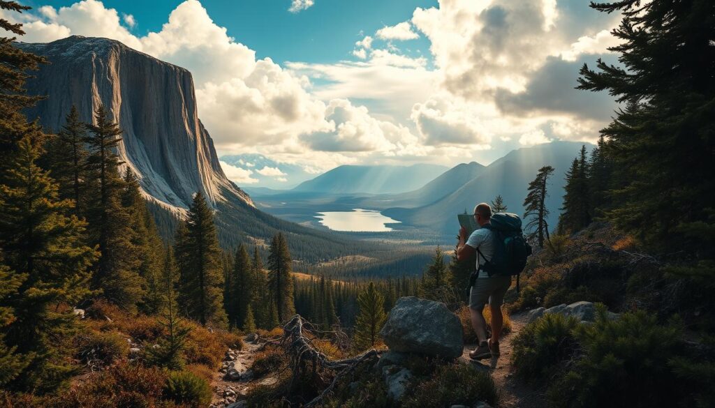
Deserts offer wide-open spaces, but they’re also cellular deserts. Your emergency SOS might as well be a message in a bottle here.
Redwood forests block signals like a congressional filibuster blocks progress. You’ll have better luck sending smoke signals than getting a text through.
During fire season, CAL FIRE alerts become your most important tool. These alerts are more than just warnings; they’re your escape routes in disguise.
Why trust CAL FIRE alerts over your spotty cell service? They use multiple methods that often work when your phone doesn’t. It’s like having a reliable backup navigator.
I’ve learned to be skeptical of coverage maps. That “mostly covered” area? It’s mostly covered in trees, rocks, and disappointment.
Remember, in wilderness navigation, hope is not a strategy. Those CAL FIRE alerts might just save your life from becoming a wildfire statistic.
Emergency Messaging Templates (911/SAR)
Forget “help lol” – your emergency message needs to be clear and direct. When panic hits, your message can be a lifeline or a confusing puzzle for rescue teams.
California search and rescue units get more poetic calls than a poetry slam. But, poetic calls don’t help find you in the Sierra backcountry.
The key to emergency messaging? Location first, situation second, medical details third. This order helps SAR teams use their resources wisely.
California now accepts what3words location identifiers. This system divides the world into 3-meter squares, each with a unique three-word address. “///prompted.trendy.trees” is better than “near big rock.”
Your emergency message should follow this structure:
| Element | Priority | Details Needed | Example |
|---|---|---|---|
| Location | 1 | Coordinates, what3words, or clear landmarks | ///prompted.trendy.trees or 36°34’23″N 118°17’32″W |
| Situation | 2 | Nature of emergency, number of people | Two hikers, one with broken ankle, unable to move |
| Medical | 3 | Injuries, conditions, medications | Compound fracture, stable bleeding, no allergies |
| Resources | 4 | Supplies, shelter, communication capabilities | Three-day food, four-season tent, Garmin inReach active |
| Timeframe | 5 | When incident occurred, last known status update | Injury at 14:30, current status unchanged |
Satellite messengers make every character count. Your message must be brief but complete, like a life-saving haiku.
The psychological aspect is key. When panic hits, your training should guide you. Practice sending mock distress messages when calm.
Clarity is more important than drama. Rescue teams need clear data, not dramatic stories. A well-structured message can save hours or days.
California’s varied terrain requires specific location details. “Redwoods” covers 500 square miles. “Second growth redwood grove 200 yards east of Mill Creek crossing” is much clearer.
Always include your planned check-in time and any missed steps. This helps SAR teams find you faster. “Missed 18:00 check-in, was ascending southeast face of Half Dome.”
Test your emergency message before it’s needed. Send practice messages to friends. Keep refining until it’s as concise as possible.
In emergencies, your message is a data transmission, not just a cry for help. Make every character count.
Case Studies: lost hiker, stuck MTB, surf pickup
Have you ever thought about how tech can both save and complicate our lives in the wild? Let’s look at three examples where apps could have changed the story.
The Lost Hiker: Yosemite 2023. This story went viral, with everyone from rangers to social media sleuths trying to figure it out. The hiker went off-trail for a photo, with a dying phone and no maps.
The harsh truth is: GAIA GPS’s offline topo maps could have shown the dangers ahead. Instead, he spent 48 hours lost, thinking he was on the right path. The rescue cost $28,000.
The Stuck Mountain Biker: Sedona’s “Hangover Trail.” This rider found out the hard way that black diamond trails are serious. AllTrails warned about a tough section, but he ignored it.
His bike got stuck, and a helicopter rescue was needed. The $15,000 bill was a harsh reminder of his mistake.
Coastal adventures come with their own set of challenges. The Surf Pickup case from Big Sur shows how tides can be deadly. Two kayakers used GAIA’s marine charts but didn’t check the tides.
They got stranded on a rock as the swells rose. The Coast Guard rescued them quickly, but their lack of prep was clear.
| Scenario | Critical Error | App Feature Ignored | Outcome |
|---|---|---|---|
| Lost Hiker | No offline maps | GAIA GPS topographic layers | 48-hour search operation |
| Stuck MTB | Skipped trail reviews | AllTrails difficulty ratings | Helicopter extraction |
| Surf Pickup | Ignored tidal data | GAIA GPS marine charts | Coast Guard rescue |
These stories show that the right tech can prevent many problems. The issue isn’t the apps, but how we use them. We often treat them like magic, not tools that need our attention.
Wilderness adventures are about making small mistakes, not big ones. Your phone can be a lifesaver or a hindrance. It all depends on how you use GAIA GPS and AllTrails wisely.
Packing & Practice Drills
Let’s face it – having a Garmin inReach doesn’t turn you into Bear Grylls. It’s like owning a paintbrush doesn’t make you Picasso. The real magic is turning that tech into a second nature.
Your packing strategy should go beyond just checking off items. It’s about understanding why each item is important and how they work together.
Practice drills are key to being prepared, not just equipped. Try navigation challenges in your local park with your compass covered. Run communication tests until sending an SOS feels as easy as texting your partner.
Role-play emergency scenarios until your response is automatic, not panicked. This way, you’ll be ready for anything.
I see navigation practice as similar to learning guitar scales. It’s boring but essential. When things go wrong in the wilderness, you won’t be ready. You’ll be at the level of your preparation.
Being competent doesn’t come from buying gear. It comes from practicing until using it becomes second nature.