

Imagine hiking in California’s beautiful wilderness, thinking you’re connected. But then, a “No Service” message pops up as smoke rises. Your digital contacts seem as useful as a chocolate teapot.
We’ve all believed 5G signals cover every spot. But when emergencies happen, our digital tools often fail. It’s not just for preppers; it’s about staying safe when tech lets us down.
Smart 911 tips are more than saving numbers. They’re about creating backup systems that impress NASA. Think of laminated cards, printed park rules, and multiple ways to contact agencies. Because when time is short, you can’t wait for signals to come back.
Let’s turn your emergency prep from useless to useful. Welcome to a mix of survival and organization.
When to Call 911 vs Park/Forest Dispatch
Deciding between 911 and park dispatch is like picking between the Avengers and your local watch. Both can save the day, but one might cause more damage than needed.
911 operators are trained for city emergencies. They use street addresses and buildings. But, in a national forest, their system fails like Windows 95.
- Life-threatening medical emergencies (heart attacks, severe trauma)
- Active crimes in progress
- Major fires spreading rapidly
- When you have no idea which agency manages the land
Use park dispatch when:
- Non-life-threatening injuries (sprained ankles, minor cuts)
- Lost hikers who can communicate
- Wildlife encounters (non-aggressive)
- Trail maintenance issues or hazards
At Point Reyes National Seashore, their park dispatch knows every trail and weather pattern. They have rangers who can reach you faster than 911.
Mount Diablo State Park works the same way. Their park dispatch knows the terrain challenges. They handle tricky rescues and icy trails.
The choice is simple: call 911 for life-or-death emergencies. For serious but not deadly situations, use park dispatch.
Remember, 911 brings a full emergency response. Park dispatch has local knowledge. Choose wisely based on your situation.
What to Say: location format, injuries, resources needed
When your outdoor adventure turns into a rescue mission, your emergency communication skills are key. It’s not about poetry; it’s about clear, urgent messages.
You have 30 seconds to explain why you need SAR contact. It’s like giving a quick elevator pitch to someone who’s distracted.
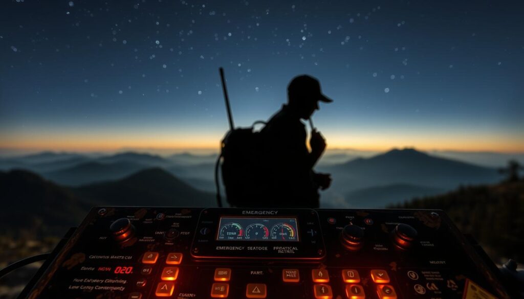
Your emergency message should include location, injuries, and resources. Let’s look at each part carefully, like a military strategist planning a rescue.
Location Reporting: GPS Coordinates Beat “Near Big Tree”
Don’t describe landmarks. Rescuers want exact coordinates, not “the pretty rock formation west of camp.”
Give your location format in this order:
- Latitude and longitude (decimal degrees preferred)
- Nearest trailhead or known landmark
- Elevation if known
- Terrain description (cliff face, dense forest, river bank)
Injury Description: Medical Precision Saves Lives
“My leg hurts” isn’t enough. Describe your injuries as if you’re talking to a trauma surgeon:
- Compound fracture right tibia (not “bone sticking out”)
- Possible spinal injury with numbness below waist
- Severe bleeding from arterial wound
- Respiratory distress following allergic reaction
Resource Request: Ask Like You’re Ordering From Amazon
Be clear about what you need, like a military procurement officer:
- “Need extraction vehicle capable of 30-degree incline”
- “Require technical rope rescue team for cliff extraction”
- “Need medical helicopter with winch capability”
- “Request wilderness EMT for advanced life support”
| Emergency Element | Wrong Approach | Right Approach | Why It Matters |
|---|---|---|---|
| Location | “Near big tree by river” | “34.0522° N, 118.2437° W, 200 ft elevation” | Saves hours of search time |
| Injuries | “Leg broken bad” | “Compound fracture right femur, uncontrolled bleeding” | Determines medical response level |
| Resources | “Send help fast” | “Need technical rescue team with spine board” | Ensures correct equipment dispatch |
| Time Critical | “Whenever you can” | “Patient unstable, need extraction within 2 hours” | Prioritizes response urgency |
Remember, when seconds count, clear messages matter more than poetry. Your ability to give a precise emergency message could save your life.
Practice your emergency message until it’s second nature. The best SAR contact is one where you’ve given them everything they need before they even ask.
Using what3words/UTM/lat‑long effectively
Imagine trying to tell someone where you are without landmarks. This is what happens when you’re lost and need help. Today, we have amazing tools, but using them right is key.
what3words is a new system that divides the world into 3-meter squares. Each square has a unique three-word address. It’s easy to use, but remember, “pizza.ballet.flamethrower” could be anywhere.
Latitude longitude coordinates need to be precise. A small difference can mean a big difference in rescue efforts. Always use the right format and datum.
UTM coordinates offer high precision without the complexity of degrees. They’re like the metric system for navigation. You need to give both zone number and easting/northing coordinates.
Rescue teams prefer precise coordinates but hate confusion. If you use multiple systems, know how to convert them. Your phone’s compass app can show different formats. Pick one and practice.
| Location System | Best For | Precision Level | Learning Curve |
|---|---|---|---|
| what3words | Urban areas with good connectivity | 3-meter accuracy | Low (but requires app) |
| Latitude Longitude | Universal recognition | Varies with format | Medium (coordinate formatting) |
| UTM Coordinates | Backcountry precision | 1-meter accuracy | High (zone understanding) |
| MGRS (Military Grid) | Professional rescue teams | 1-meter to 10-meter | Very High (military standard) |
The key to sharing emergency location info? Give coordinates in multiple formats and a verbal description. Technology can fail, but a clear description never needs charging.
GPS accuracy changes with device and conditions. Your phone might show 10-foot accuracy in open sky but 300-foot in dense forest. Add some extra distance to your description.
Practice finding and sharing precise location info before it’s urgent. Take coordinates of your backyard, favorite hiking spot, or parking space. This skill could save you when it matters most.
Regional Directories: National/State Parks, Forests, BLM, county SAR, marine rescue
Welcome to America’s complex emergency response system. It’s like picking a coffee shop, but wrong choice could mean no rescue. You might end up in a tricky situation.
The National Park Service is like the top-notch service in wilderness emergencies. In places like Yosemite or Yellowstone, they have trained rangers ready to help. They might even remind you about bear safety.
State parks are like the reliable chain restaurants. They offer good service, but it varies by location. For example, California’s state parks might work with Cal Fire or local agencies.
The Bureau of Land Management (BLM) takes a more relaxed approach. They manage about 10% of the U.S., mostly in the West. They let you explore, but don’t expect much help. In emergencies, local county sheriff teams often take over.
National Forests have their own rules. The Forest Service manages them, but local county sheriff teams handle emergencies. They are your first line of help.
Here’s a simple guide to who shows up:
- National Parks: Park rangers with local agency backup
- State Parks: Park staff and state police or fire
- BLM Land: County sheriff’s department leads, with BLM support
- National Forests: County search and rescue, with Forest Service help
- Coastal areas: Coast Guard for water, county for shore
The main difference is response time. National Parks get help fast. BLM areas might take longer.
Marine rescue adds more complexity. The Coast Guard handles water, but local teams help on beaches. It’s like having many pizza services, but you need to know which one delivers.
Before venturing into the wilderness, research the agency in charge. Save local dispatch numbers. Knowing the difference between a national forest and BLM land could save your life.
Alerts & Info: CAL FIRE, Ready.gov, county alerts, NWS, Caltrans road conditions
Learning about emergency alerts is like reading secret messages from the government. You have to know the difference between “advisory” and “danger.” It’s like learning a new language.
CAL FIRE alerts sound like stories from a bad sci-fi movie. Their updates are like real-time adventures where your safety is the main character. An “evacuation warning” means it’s time to get ready to leave. An “evacuation order” means you should leave right away.
The NOAA/NWS sends out weather warnings like they’re warning you of a great tragedy. Their messages are loud and clear, full of urgency. Knowing the difference between a flood watch and a flood warning could save your car from flooding.
Ready.gov is like a digital guide for surviving emergencies. It’s filled with useful tips and checklists. Their alerts will buzz in your pocket, reminding you to stay safe.
County alert systems vary a lot. Some are high-tech, while others are more basic. Knowing how your county alerts you is important for staying safe.
Caltrans updates on road conditions are very important. They tell you about road closures and what to expect. It’s like getting a travel guide for the roads.
Being alert means not ignoring government warnings. It means understanding that these alerts are serious. They’re like survival guides written by experts.
After the Call: stay put vs self‑rescue decision tree
After calling for help, you’re in a state of uncertainty. It’s like Schrödinger’s cat – both rescued and not rescued until it’s confirmed. Your survival depends on how well you assess risks and make a choice.
The decision to stay or self-rescue is not just a thought experiment. It’s a real-life calculation that tests your survival skills. You must weigh factors like rescue time and your food supply. Let’s look at the key points.

Factor 1: Known Location Accuracy
Did you give rescuers exact coordinates or a vague location? If they know where you are, it’s safer to wait.
Factor 2: Agency Competence Timeline
Who did you call? Park rangers with helicopters or volunteers? Their speed affects how long you can wait.
Factor 3: Your Survival Supplies
Do you have enough water, shelter, and food? Your supplies decide how long you can wait for help.
Factor 4: Environmental Conditions
Is the weather getting worse? Are animals approaching? Sometimes, nature forces you to act fast.
The Decision Algorithm
Compare these factors. With good supplies, accurate location, and quick responders, wait. But if any factor is against you, it’s time to act.
Modern alert apps can help. They give estimated response times based on your location and the agency. This information helps you make a better choice.
Remember, rescuers usually want you to stay put. But coyotes might have other plans. Trust the system, but trust your instincts more.
This decision tree has no clear answers. It’s about making the best risk assessment. Your most valuable tool is your brain, using logic to guide you.
Incident Documentation & Insurance
Surviving an adventure in the wilderness leads to a lot of paperwork. You become like a detective, capturing every detail. This is your chance to tell your story with precision and a hint of doubt.
Start documenting right away with your phone. Take pictures like you’re for National Geographic. Capture wide shots, close-ups, and remember to timestamp everything. Show injuries, damage, and anything that proves it wasn’t your fault.
The CHP helps when accidents happen on roads. Their reports are key for insurance companies. A car accident or a rock slide? It’s all about the evidence.
Insurance companies want proof, not stories. Your policy might have many loopholes. So, your documentation is your strongest argument.
| Document Type | What to Capture | Why It Matters |
|---|---|---|
| Photographic Evidence | 360-degree shots, damage close-ups, environmental conditions | Establishes scene context and verifies claims |
| Official Reports | CHP, park ranger, or sheriff’s department incident numbers | Third-party validation strengthens your case |
| Witness Information | Names, contacts, statements from other parties | Corroborates your version of events |
| Medical Documentation | ER reports, treatment records, physician notes | Supports injury claims and related expenses |
Document as soon as you can. This way, your memory stays sharp. That tree in front of your car? Take a photo right away.
When you file a claim, remember insurance companies say “no” a lot. Your documentation is your defense. It can turn a “no” into a “maybe” or even a “yes.”
The CHP and other reports are your allies. They turn your story into facts. This makes your claim stronger.
Good documentation does more than help with insurance. It helps others avoid trouble. It’s also nice to get paid for your troubles.
Post‑Incident Learning & Community Reporting
Your near-miss is more than a story. It’s valuable data. Turning panic into insight makes you a community asset. It’s like giving back through disaster philanthropy.
Start with Caltrans 511. Reporting road issues helps everyone. Your update could save the next driver. Be clear about the location, time, and type of problem.
Don’t stop at roads. Share with national parks, forest services, and local SAR teams too. Your reports on weather, trail conditions, and wildlife help keep everyone safe.
Document everything clearly. Use photos, coordinates, and timestamps. Stick to the facts: what happened, what you saw, and how it can help others.
This isn’t about pointing fingers. It’s about moving forward. Your story helps improve safety for all. Share your experience to prevent future mishaps.