

Dome Fire restrictions are affecting parts of Yosemite National Park in late September 2026, especially around Wawona, Chilnualna Falls, Glacier Point Road, and nearby wilderness trails. Yosemite National Park remains open, but this is not a normal access week for visitors planning hikes, backpacking routes, scenic drives, or flights into the Mariposa-Yosemite Airport. If you have a trip planned, focus first on whether your route passes through the closed areas, then check smoke conditions before deciding how much time to spend outdoors.
The Dome Fire was first reported on September 15, 2026, in Yosemite’s backcountry near Wawona, about one-quarter mile north of Chilnualna Falls, according to CAL FIRE. The most recent official park update in the research notes, issued the morning of September 26, 2026, reported 4,498 acres burned, 28% containment, and about 781 personnel assigned to suppression work, according to Yosemite National Park.
Dome Fire Restrictions By Area
The closures are concentrated in the southern part of the park and in wilderness areas tied to firefighting operations and smoke impacts. For families, day hikers, and backpackers, the key point is simple: Yosemite is open, but access is not open everywhere. A plan that worked earlier in September may no longer be realistic if it depends on Chilnualna Falls, Glacier Point Road, Ostrander Trail, or wilderness travel south of Ostrander.
Dome Fire Restrictions Near Wawona
The Dome Fire is burning in Yosemite Wilderness near Wawona and is moving north and northeast inside the 2017 Empire Fire footprint. That matters for travelers because the affected area includes popular starting points and trail connections rather than a remote zone that most visitors would never approach. The closure area extends east of Wawona Road from Wawona to Chinquapin, so anyone driving or hiking in the southern park area should treat that corridor as a place to verify before moving.
Chilnualna Falls Trail is closed. Trails from the top of Chilnualna Falls toward Buena Vista and Crescent Lakes are also closed. The park update states that Buena Vista and Crescent Lakes remain reachable by eastern access, but that is a backpacking detail that requires careful route planning. If your original route began in Wawona or linked through the top of Chilnualna Falls, do not assume you can simply reroute on the ground. Wilderness travel depends on legal access, safe conditions, and current park direction.
Trails South Of Ostrander
Ostrander Trail and all areas and trails south of it are closed. This is one of the more important restrictions for hikers because it affects a broader zone, not just a single trailhead. Backpackers should review their permit route against the closure boundary and be prepared to change plans if the trip crosses into the closed area. Day hikers should also avoid using partial information from old maps, saved route apps, or past trip notes. Those tools can help with orientation, but they cannot confirm whether a trail is open during active fire operations.
For more background on how this closure developed around Chilnualna Falls and the connected trail system, our earlier Yosemite update on Chilnualna Falls trail closures gives useful context for trip planning. For another regional travel perspective from our network, consider reading Baja Times.
Road, Airport, And Visibility Changes
Road access is also affected. Glacier Point Road is closed because of reduced visibility from smoke and to support safe firefighting operations. That changes plans for visitors hoping to reach viewpoints or start hikes from the road corridor. The park has said that Four Mile Trail and Panorama Trail remain open for hikers, which means some routes in the broader Glacier Point area are still possible on foot. That said, hikers should not treat an open trail as a promise of clear views, clean air, or easy logistics.
Glacier Point Road And Hiking Access
If you were planning a scenic drive to Glacier Point Road, build your day around a different open area of the park or postpone that part of the trip until the road reopens. The closure is tied to both smoke visibility and fire operations, so timing can change with conditions. Backpackers who were already parked overnight at Glacier Point were to be allowed to exit once the road closure began. That detail is useful for people tracking where vehicles may be, but it should not be read as permission for new visitor entry onto the closed road.
Dome Fire restrictions can be especially frustrating for families because Glacier Point Road often fits well into a lower-effort sightseeing day. With the road closed, avoid trying to replace it with a long hike unless your group is ready for the distance, elevation change, and smoke exposure. A shorter open trail, a visitor center stop, or a flexible rest day may be a better fit during active fire conditions.
Mariposa-Yosemite Airport Closure
The Mariposa-Yosemite Airport, identified as KMPI, is closed to general aviation traffic during the restriction. No civilian aircraft may take off or land there while the restriction is in place. Travelers who planned private aviation access should work from that closure rather than assuming airport use will be available on arrival. Commercial travelers should also recognize that firefighting aircraft and restricted airspace needs can affect how the area functions, even when the main park remains open to visitors by road.
Smoke And Health Planning
Smoke is one of the most practical trip issues right now. The research notes report that Wawona, Yosemite Valley, and Tuolumne Meadows have experienced conditions labeled “Unhealthy for Sensitive Groups,” with occasional heavier smoke periods. Smoke impacts are likely to continue throughout the park, and visitors and staff are advised to monitor conditions through the AirNow fire and smoke map.
For travelers with children, older adults, asthma, heart conditions, or other smoke sensitivities, this should shape the entire day. Even if your trail is open, the air may not feel comfortable. A family hike that is easy in clear weather can feel very different when smoke reduces visibility and irritates lungs or eyes. I would plan every Yosemite day with a low-exertion backup: a shorter walk, a scenic stop that does not require much climbing, or a return to lodging if smoke thickens.
Fire behavior remains difficult because of heavy dead and down fuels, steep terrain, and ember-driven spot fires. Spotting ahead of the fireline is a major concern as the fire pushes into older burn footprints. That is why closures may feel broader than the visible flames suggest. Fire managers often need room for crews, equipment, aircraft support, and public separation from changing fire activity.
- Check Yosemite’s official fire and closure updates before leaving lodging, not just before leaving home.
- Avoid closed trails and road segments even if a map app still shows them as passable.
- Use AirNow smoke information before choosing hikes, especially for children and sensitive travelers.
- Carry enough flexibility to change trail plans, skip Glacier Point Road, or shorten outdoor time.
- Do not rely on distant views to judge fire risk; smoke, wind, and operations can change access quickly.
What To Check Before Booking Or Driving
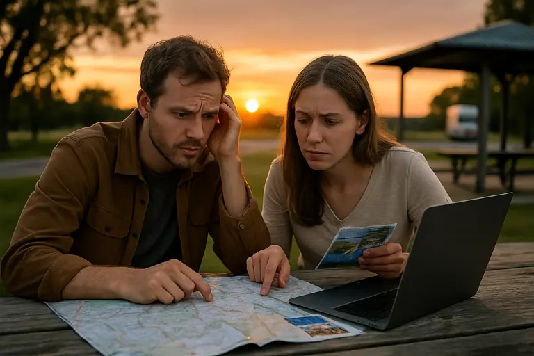
Before committing to a Yosemite trip during these fire restrictions, separate the park into “open,” “closed,” and “uncertain for my group.” Open does not always mean comfortable. Closed does not always mean the whole park is off limits. Uncertain is where most trip decisions sit right now: smoke may be tolerable for one traveler and a deal-breaker for another.
Start with your anchor activity. If the trip depends on Chilnualna Falls Trail, Ostrander Trail, Glacier Point Road, or a wilderness route south of Ostrander, you need a new plan. If the trip is centered on areas not listed in the closure, you still need to account for smoke. The park has reported smoke impacts across Wawona, Yosemite Valley, and Tuolumne Meadows, so moving to another part of Yosemite may not fully solve the air-quality issue.
Families should be especially cautious about overplanning. Build in time to turn around, change areas, or take a break indoors if smoke gets heavier. Keep expectations modest for viewpoints because reduced visibility is one reason Glacier Point Road is closed. Photographers, hikers, and first-time visitors may still have a worthwhile trip, but it should be planned around changing conditions rather than a fixed checklist.
Dome Fire Restrictions For Yosemite Trips
Dome Fire restrictions do not mean Yosemite National Park is closed, but they do mean visitors should treat late September 2026 as an active fire period with real access limits. The most affected travel plans are those tied to Wawona-area hiking, Chilnualna Falls, Ostrander-area wilderness routes, Glacier Point Road, and general aviation use at Mariposa-Yosemite Airport.
If you already have lodging or travel plans, review the exact route you expected to use and compare it with the closure details before driving. If your plans are flexible, consider shifting your Yosemite time toward open areas, shorter activities, and smoke-aware pacing. The safest trip plan right now is not the most ambitious one; it is the one that can change quickly as park access, fire behavior, and air quality shift.